


Distance Calculator


Distance from Negresti-Oas to Ramnicu Valcea
The shortest distance (air line) between Negresti-Oas and Ramnicu Valcea is 196.31mi (315.92 km)
The shortest route between Negresti-Oas and Ramnicu Valcea is 278.04 mi (447.47 km) according to the route planner. The driving time is approx. 7 h 0 m
How far is it between Negresti-Oas and Ramnicu Valcea.
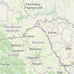
Negresti-Oas is located in Satu Mare, Romaniacountry within 47° 52' 9.84" N 23° 25' 27.12" E (47.8694, 23.4242) coordinates. The local time in Negresti-Oas is 03:44 (09.10.2025)
Ramnicu Valcea is located in Vâlcea, Romaniacountry within 45° 6' 16.92" N 24° 22' 32.16" E (45.1047, 24.3756) coordinates. The local time in Ramnicu Valcea is 03:44 (09.10.2025)
The calculated flying distance from Negresti-Oas to Ramnicu Valcea is 196.31miles which is equal to 315.92 km.
If you want to go by car, the driving driving distance between Negresti-Oas and Ramnicu Valcea is 278.04 miles (447.47 km). If you ride your car with an average speef of 112 kilometers/hour (70 miles/h), travel time will be 3 hours 60 minutes.Please check the avg.speed travel time on the right for various options
Estimated Travel Time Between Negresti-Oas and Ramnicu Valcea
| Average speed | Travel Time |
|---|---|
| 30 mph (48 km/h) | 9 hours 16 minutes |
| 40 mph (64 km/h) | 6 hours 57 minutes |
| 50 mph (80 km/h) | 5 hours 34 minutes |
| 60 mph (67 km/h) | 4 hours 38 minutes |
| 70 mph (112 km/h) | 3 hours 58 minutes |
| 75 mph (120 km/h) | 3 hours 42 minutes |
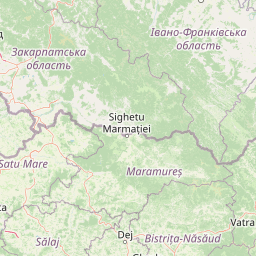
Negresti-Oas, Satu Mare, Romania
Related Distances from Negresti-Oas
Ramnicu Valcea, Vâlcea, Romania
 Log in with Google